
THE SITUATION
The project was completed with very high standards of quality and deliverables included: Under this contract, it was envisioned that DigitalGlobe would produce 1,000 3D airfields, terrain, and obstacle databases for the global company. In addition, DigitalGlobe would perform maintenance on the higher complexity airports to keep them current over the 3.5 year term of the agreement.
THE APPROACH
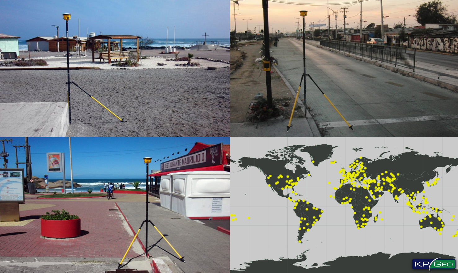
KPGeo participated in the first phase of the planned multi-year contract which was designed to produce 3D airport mapping, terrain and obstacle databases for up to 1,000 airfields around the world. In support of the mapping requirements, KPGeo was contracted to provide ground control points (GCPs) for over 400 airport locations in Africa, Asia, Australia, Central America, Caribbean, Europe and South America. The minimum ground positional accuracy of GCPs delivered was horizontal (CE90) 0.7 meters and vertical (LE90) 1.25 meters. For each airport location, 8 to 10 well distributed control points were captured for each airport area of interest (AOI).
THE RESULT
The project was completed with very high standards
of quality and deliverables included
• Project Report
• Sketch of each GCP
• Image chip showing GCP location
• In-situ ground photos of GCP from each cardinal direction
• GCP coordinate data set.
Client Contact
Bill Evans, Project Manager Geospatial Operations
Email: billevan@digitalglobe.com
CONTACT
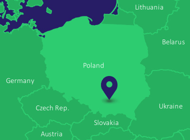
KPGeo Sp. z o.o.
ul. Królewska 65
30-081 Kraków, Poland
T: +48 12 379 3170

KPGeo LLC
P.O. Box 7173
Overland Park, KS 66207
USA
Tel. +1 631-882-2296