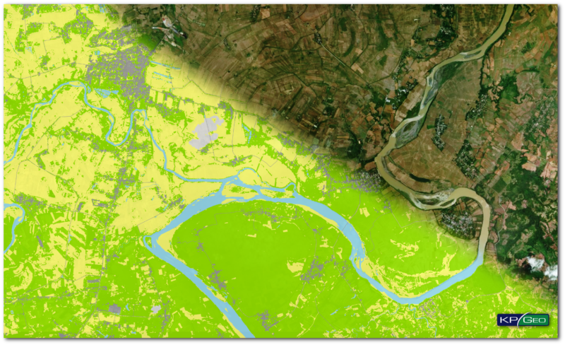
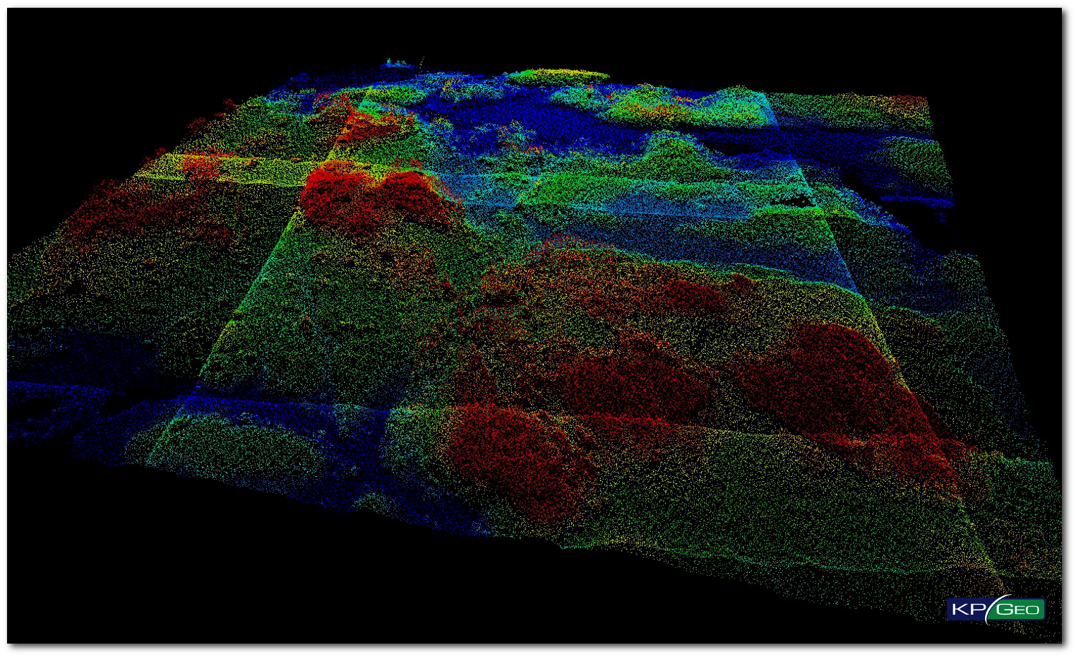
The purpose of this LiDAR project was to provide high accuracy, classified multiple return LiDAR for approximately 3,135 square miles in five counties in South Dakota. This project supports the Statewide LiDAR initiative. The contracted data sets are suitable for the development.
DigitalGlobe was awarded a multi-year contract with a large global company, who is a leader in the commercial aviation market, and wanted to provide the aviation industry with ICAO-compliant terrain and obstacle aeronautical data derived from DigitalGlobe’s high resolution earth imagery satellites.
Through a partnership between DigitalGlobe and Microsoft, a new standard of aerial ortho mosaic was established, by employing a common sensor – the Vexcel UltraCamG – for all imagery collection. DigitalGlobe started offering a new product “Precision Aerial”
With a start of 2015 Eskilstuna municipality in Sweden, published an inquiry for photogrammetric mapping services. The main purpose was the update of the municipalities geodatabase, according to Swedish standards for base maps.
ICAO is transitioning from the current Aeronautical Information System (AIS) to the more modern Aeronautical Information Management (AIM) system. To meet ICAO Annex 15 requirements, Mexican airport operator ASUR Airports (Grupo Aeroportuario del Sureste)
In 2017 Digital Globe started project connected with acquisition of Land Use / Land Cover maps of Philippines derived from high resolution satellite imagery. LULC maps are created as a result of automatic classification of multiband images, manual adjustments and vectorization.