
KPGeo
  • SATELLITE IMAGERY
    • OPTICAL IMAGERY
    • RADAR IMAGERY
    • THERMAL IMAGERY
  • AI BUILDINGS
  • PRODUCTS
    • AMDB
    • ETOD
    • LIDAR
    • ORTHOPHOTO
    • GEOSPATIAL DATA
    • GROUND CONTROL POINTS
    • AI POWERED 2.5D BUILDINGS
  • SERVICES
    • AIXM CONVERSION
    • GIS SERVICES
    • QC/QA SERVICES
  • Research & Development
  • COMPANY
    • Our Quality
    • Our People
    • Our Vision
  • CONTACT
  • European Union
Category

home-page-no1

cze 20
0

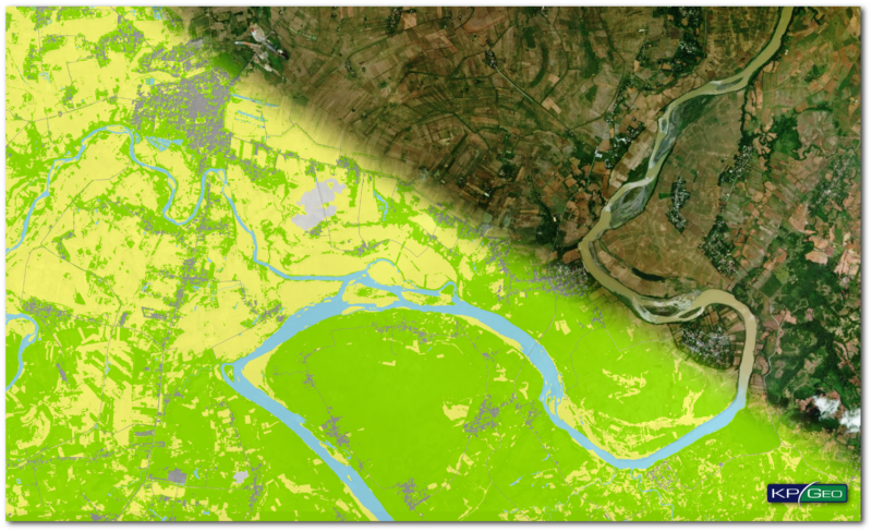
Land Usage and Land Cover Map for Philippines

By admin@ediso.pl | Case study, home-page-no1

In 2017 Digital Globe started project connected with acquisition of Land Use / Land Cover maps of Philippines derived from high resolution satellite imagery. LULC maps are created as a result of automatic classification of multiband images, manual adjustments and vectorization.

Read More

© 2026 KPGeo.

  • SATELLITE IMAGERY
    • OPTICAL IMAGERY
    • RADAR IMAGERY
    • THERMAL IMAGERY
  • AI BUILDINGS
  • PRODUCTS
    • AMDB
    • ETOD
    • LIDAR
    • ORTHOPHOTO
    • GEOSPATIAL DATA
    • GROUND CONTROL POINTS
    • AI POWERED 2.5D BUILDINGS
  • SERVICES
    • AIXM CONVERSION
    • GIS SERVICES
    • QC/QA SERVICES
  • Research & Development
  • COMPANY
    • Our Quality
    • Our People
    • Our Vision
  • CONTACT
  • European Union
We use cookies to ensure that we give you the best experience on our website. If you continue to use this site we will assume that you are happy with it.