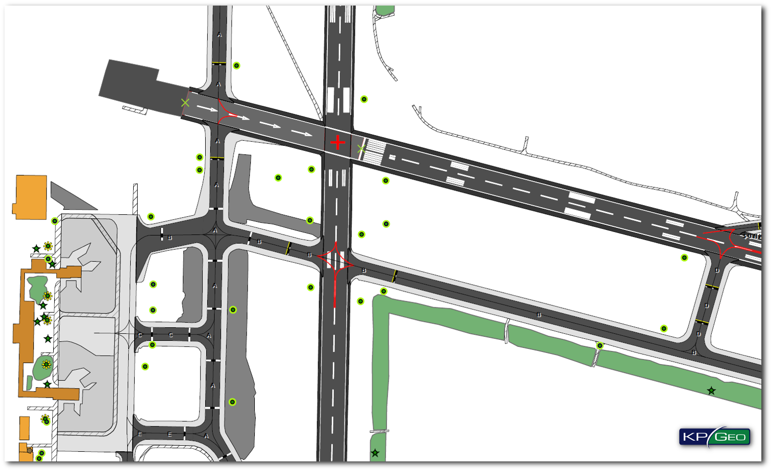
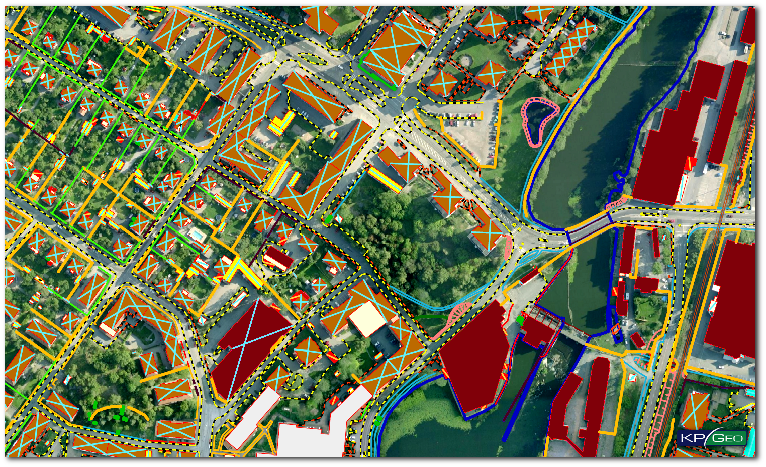
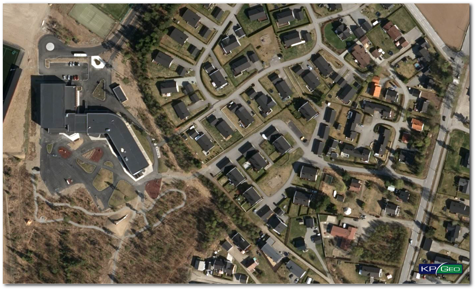
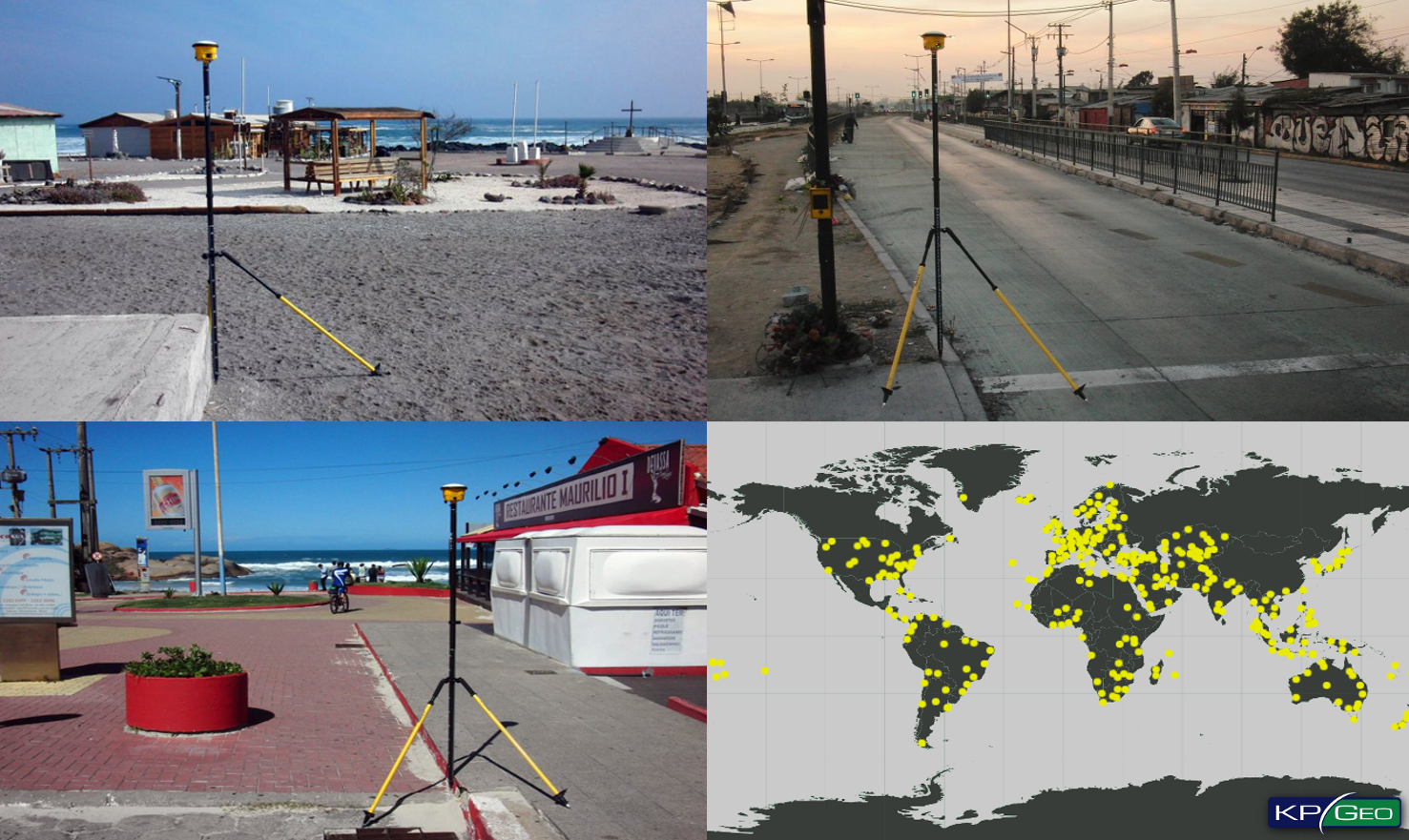
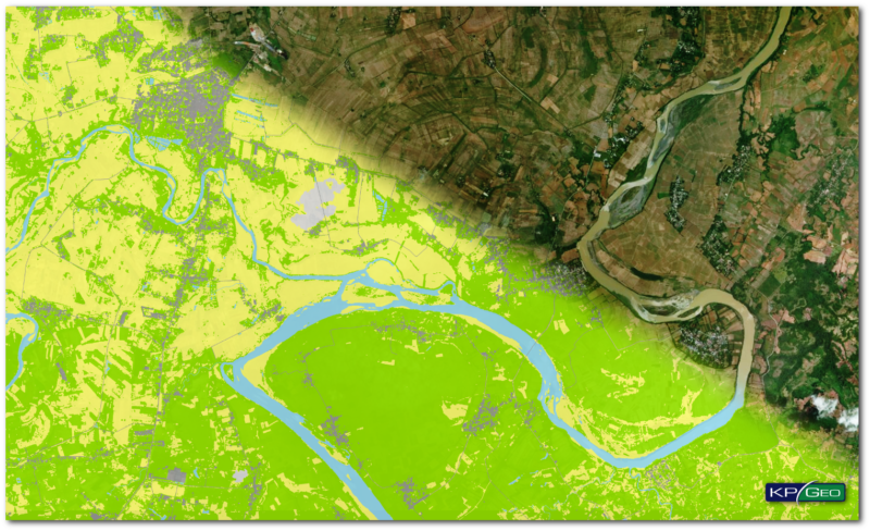
KPGEO IS A GLOBAL
PHOTOGRAMMETRIC
MAPPING COMPANY

that provides its customers top quality geospatial services
and products.


KPGEO Quality
Management System (QMS)

is ISO 9001:2015 and AQAP 2110:2016
(NATO requirements for Quality Assurance) certified.


KPGEO Main purpose
of our organization

is to be a professional, credible and reliable company
in the industry, providing our clients the highest quality services.

PRODUCTS

AMDB

AMDB – aerodrome mapping data organized
in aerodrome mapping databases (AMDBs),
which meet the ICAO requirements
specified in Annex 15 of the Convention on
International Civil Aviation.

READ MORE

eTOD – ELECTRONIC TERRAIN
AND OBSTACLE DATA

eTOD – geospatial data related to obstacles and terrain, which meet the ICAO requirements specified in Annex 15 of the Convention on International Civil Aviation.

READ MORE

LIDAR

Aerial, Terrestrial and Mobile LiDAR products which include: LiDAR based vector and raster products, LiDAR point cloud classification, DTM development, LiDAR system calibration.

READ MORE

ORTHOPHOTO

Orthophoto and True-Orthophoto derived from Aerial, UAV, or satellite imagery. GIS ready!

READ MORE

GEOSPATIAL DATA

Geospatial data acquisition for GIS and CADsystems. Our experience this is 3D and 2D data extraction using as a base satellite, aerial or UAV imagery.

READ MORE

GROUND CONTROL
POINTS

Ground Control Points planning andmeasurements, in-situ photo documentation, measurement reports preparation, coordinate transformations.

READ MORE

2.5D BUILDINGS

2.5D City Models derived from mono satellite imagery. Our technology is well suited for cities with dense urbanization.

READ MORE

SERVICES

SERVICES

CASE STUDY

CONTACT

    captcha

    KPGeo Sp. z o.o.
    ul. Królewska 65
    30-081 Kraków, Poland
    T: +48 12 379 3170

    SEE IN GOOGLE MAPS

    KPGeo LLC
    8801 Birch Lane
    Prairie Village, KS 66207
    USA
    Tel. +1 816-695-3357

    SEE IN GOOGLE MAPS